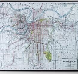
This map is of the Greater Kansas City Metro and Suburbs region. Text in the bottom righthand corner reads the company's slogan "Everything in Maps."...
Artist:
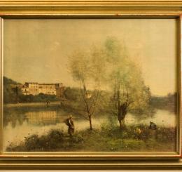
Jean-Baptiste-Camille Corot inherited property from his parents at Ville-d'Avray and created many paintings with a large pond on the property as the s...
Artist:
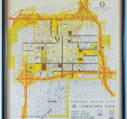
This map lays out the ninth Proposed Master Plan of the Downtown Area and was generated in 1946. The plan's primary feature is the expressway loop sur...
Artist:
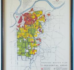
This is the first proposed master plan for residential areas in Kansas City generated in 1946. The gridded map indicates needed redevelopment, rehabil...
Artist:
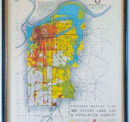
This is the eighth proposed master plan for future land use and population density in Kansas City generated in 1946. The gridded map indicates single...
Artist:
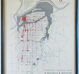
This is the second proposed master plan for business and industry areas in Kansas City generated in 1946. The gridded map indicates business in red an...
Artist:
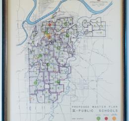
This is the fifth proposed master plan for public schools in Kansas City generated in 1946. The gridded map indicates elementary, junior high, and hig...

