Support the Kansas City Public Library on #LibraryGivingDay.
1946 City Plan Commission Map of Future Land Use and Population Density
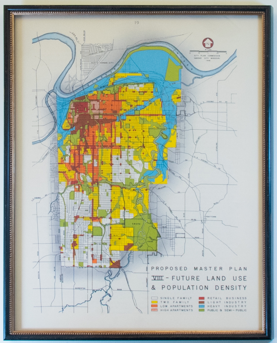
This is the eighth proposed master plan for future land use and population density in Kansas City generated in 1946. The gridded map indicates single and two family housing as well as low and high apartments, retail business, light and heavy industry areas, and public and semi-public areas. Each element is color or pattern coordinated and corresponds to a legend in the lower right-hand corner of the map.