Support the Kansas City Public Library on #LibraryGivingDay.
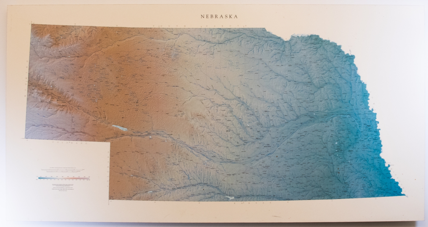
Raven Map of Nebraska
This map created in 1997 depicts the state of Nebraska in minute detail, complete with a legend located in the lower lefthand corner. The map highlights urban and rural areas, rivers and tributaries, highways and railroads of primary and secondary importance, as well as neighboring states. Elevation and terrain are depicted through color gradation and change of hues, giving the 2-D print a 3-D appearance. This map printed on foam core was produced as part of a set including Iowa, Kansas, Missouri, and Oklahoma.