Missouri River Commission: Map of Missouri River
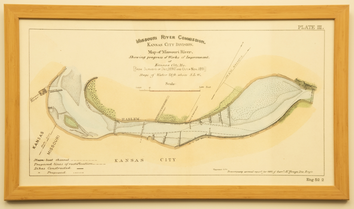
This enlarged reproduction print depicts a map of Kansas City showing the progress of Works of Improvement from surveys conducted in December of 1890 and again in October and November of 1891. The Missouri River Commission, Kansas City Division, created this plate to show the stages of water within a given time frame. The plate includes an artist rendition complete with key points of interest of the Missouri River from the East Bottoms to the Kansas River, a scale, and in the lower left bottom a key identifying steam-boat chanels, proposed lines of rectification, dikes constructed, and dikes proposed. Plate number three was meant to "accompany annual report for 1892 of Sam H. Yonge, Div. Eng'r."