Support the Kansas City Public Library on #LibraryGivingDay.
Map of Westport, MO and Its Additions
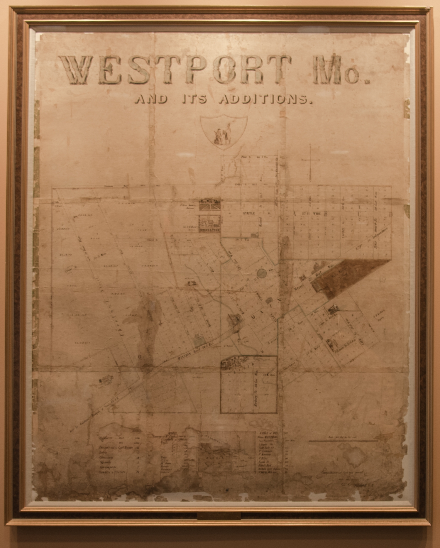
As documented in the historical account from the Missouri Valley Special Collections at the Kansas City Public Library, The town of Westport, in 1838, stood near the western edge of the American frontier and served as a disembarking point for traders following the Santa Fe Trail to present-day New Mexico, then a part of Mexico. To reach Westport from the east, traders traveled by river to a natural rock landing near the junction of the Kansas and Missouri Rivers and then trekked four miles south to Westport. This is an original 1885 map of Westport Missouri, by Charles C. Spalding, C.E. The map is a compilation of surveys of this particular area featuring cross streets, numbered plots and neighborhoods. Site specific addresses listed through out include: Col. a G. Boone's Residence, William Bernard's Residence, Godfrey Hornings Vineyard, James Hamilton, Mr. Purdom's, The Morris Residence, A Richters Residence, Public Spring, Prices Place and SP. Keller's Property. Cross streets include Cedar Street, Main Street, Myrtle Street, and Walnut. The Map also details population and residence information. Through out the map illustrated houses and other structures appear. The prominent illustration, centered at the top of the map, is that of an emblem depicting a seated settler interacting with a standing Native American.