Support the Kansas City Public Library on #LibraryGivingDay.
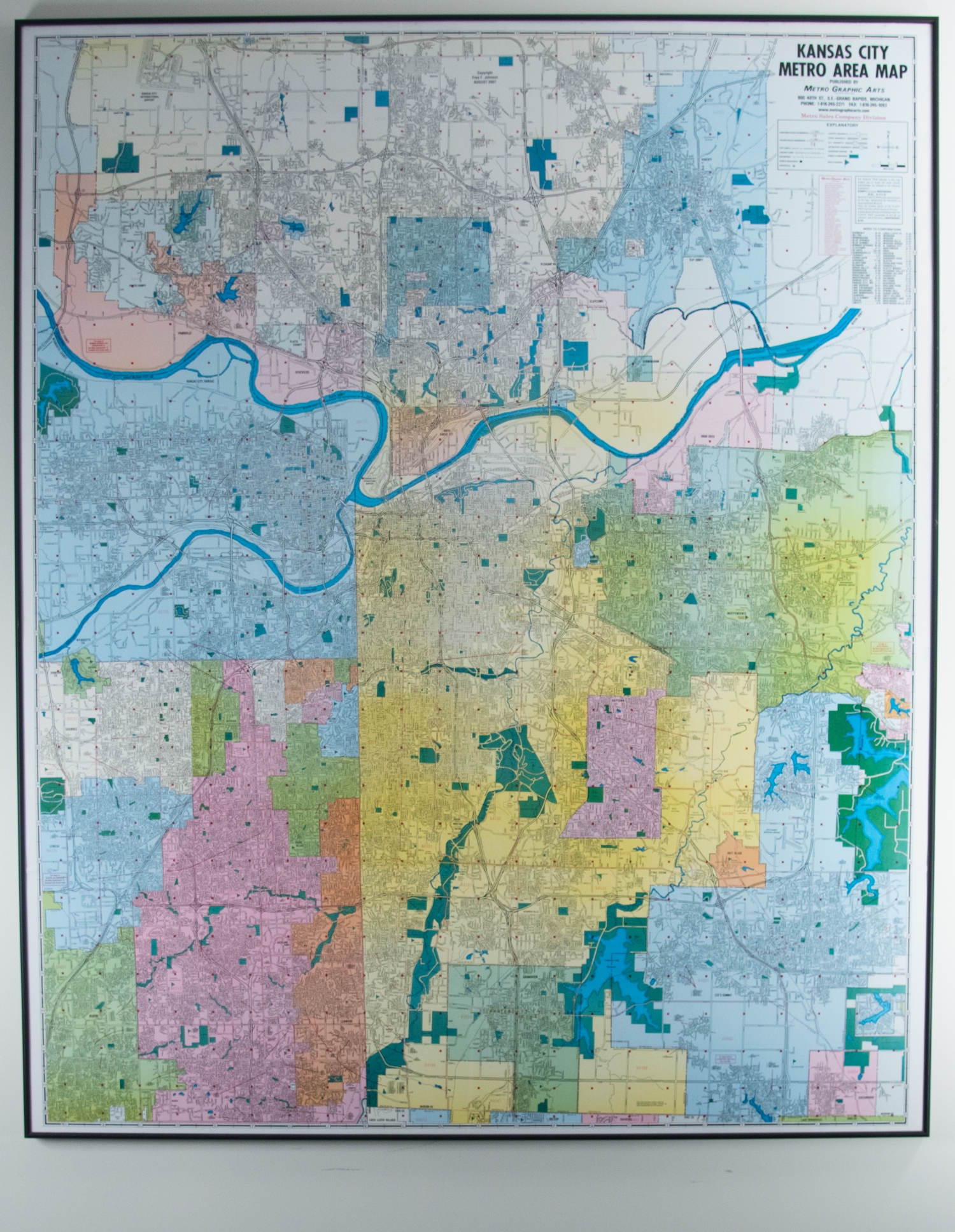
Map of Kansas City Metro Area
This map provides a visual understanding of Kansas City's urban landscape with bright color blocking to denote major districts packed with extensive quantitative detail. The legend includes house numbers, city limits, county lines, railroads, public buildings, hospitals, county highways, US highways, interstates, shopping centers, parks, cemeteries, golf courses, and an index of the major corporations, or districts that comprise the city.