Cram's Superior Map of Missouri

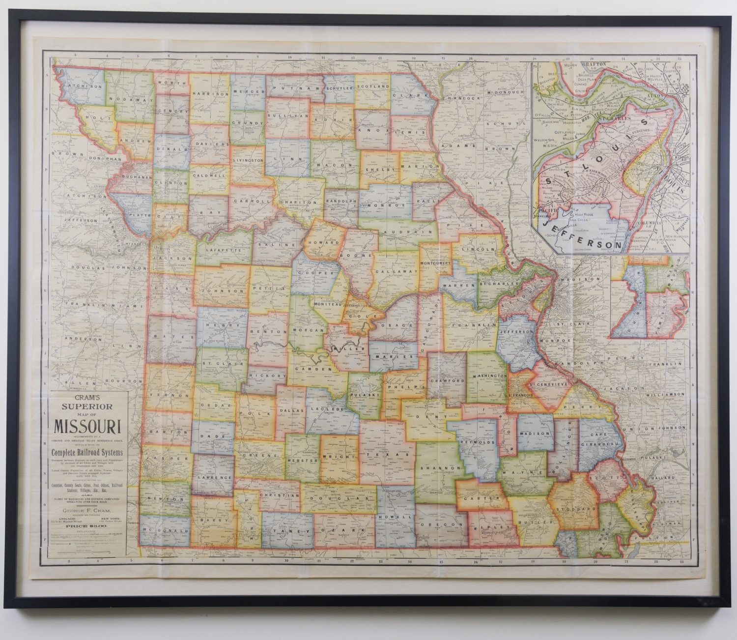
This sizable map was created by George F. Cram who served in the U.S. Army during the American Civil War. After the war ended, Cram joined his uncle Rufus Blanchard's Evanston map business in 1867. Cram's map offers a complete depiction of the railway systems that passed through Missouri and is believed to have been created in 1906-1907. In the lower left hand corner is a key explaining the map's contents including census data, counties, county seats, cities, post offices, railroad stations, villages, etc.
Cram's Superior Map of Missouri
Inventory
Collection Number
17127
Building
Current Location
Missouri Valley Room
Floor
5th
Description
Details
A 1906 -1907 map of the state of Missouri color printed by George F. Cram on newsprint paper.
Framed
Yes
 - Plexi
Width
43.5 inches
Height
1.5 inches
Length
53 inches
Donor
Donor Name
Jonathan Kemper
Library Owns
No
Permissions
Reproduce the Work in Library publications/publicity, including film or videotape
Yes
Reproduce
Library has Photography Rights
Yes
Photograph
Permit the general public to photograph the work
Yes
Slides/Video