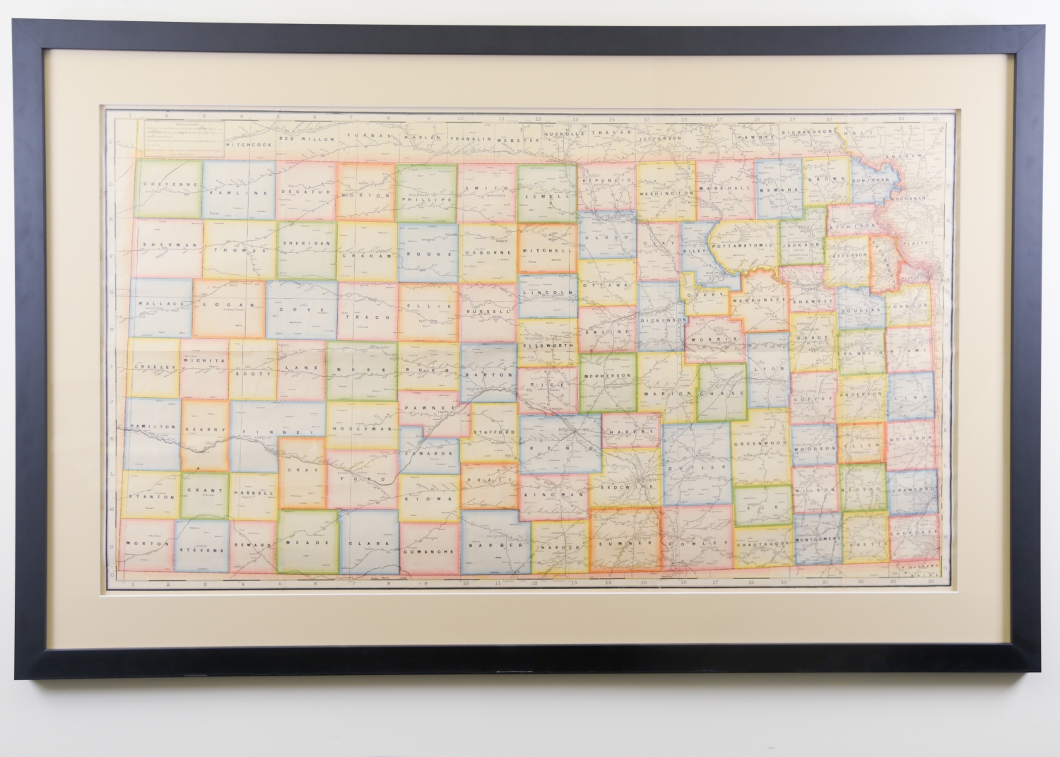
Cram's Superior Map of Kansas
This sizable map was likely created by George F. Cram who served in the U.S. Army during the American Civil War. After the war ended, Cram joined his uncle Rufus Blanchard's Evanston map business in 1867. Cram's map depicts populations in cities and towns throughout the state of Kansas as well as the distances between railway stations.