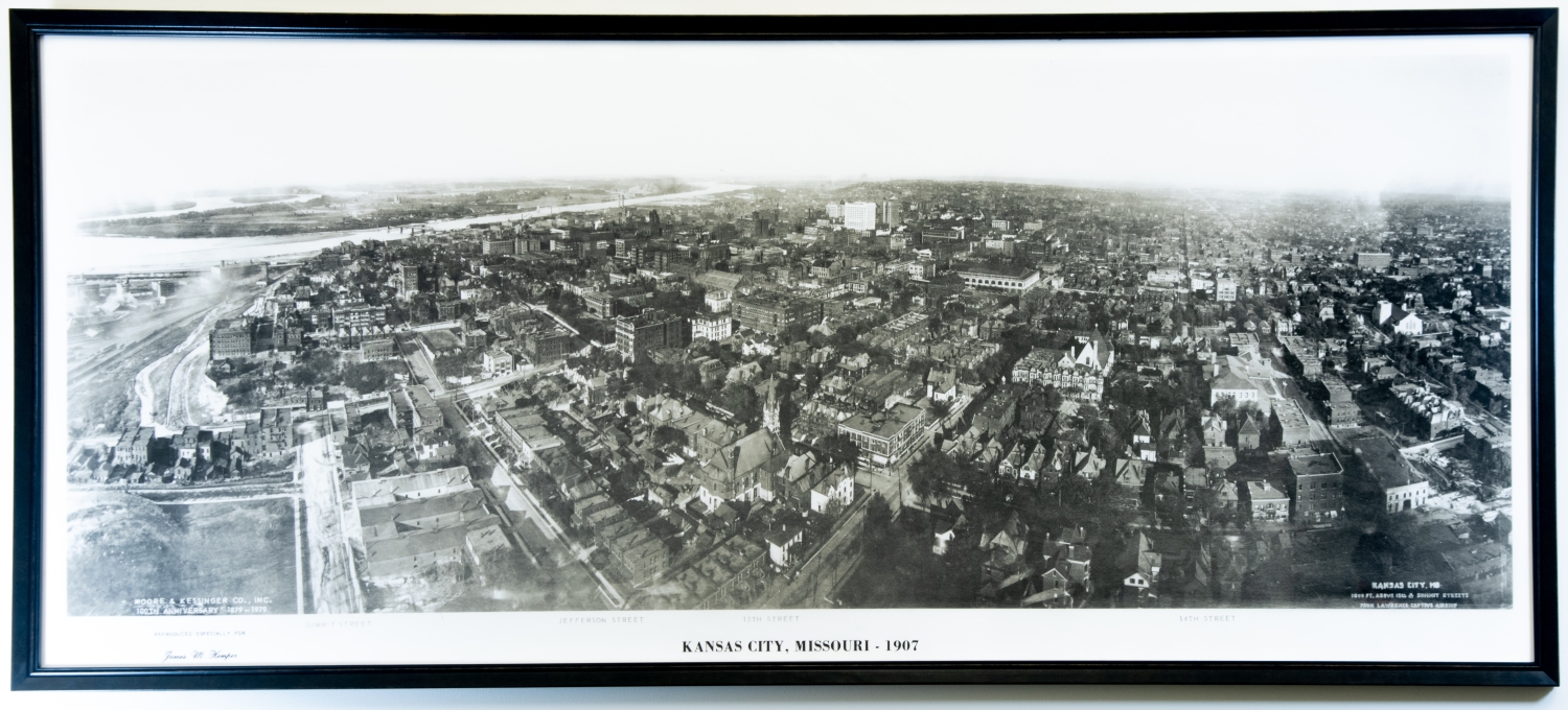
1907 Aerial Map of Kansas City
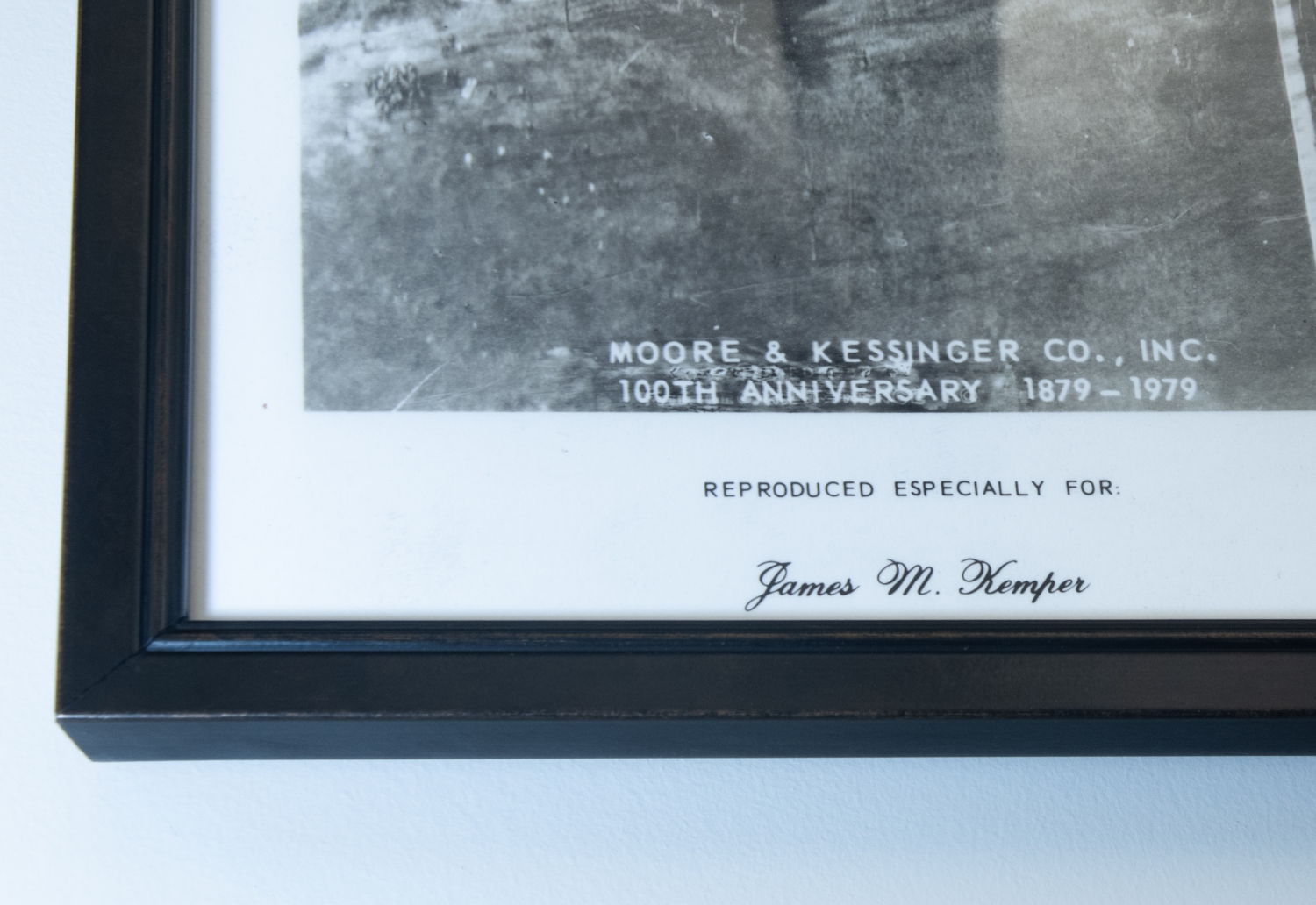
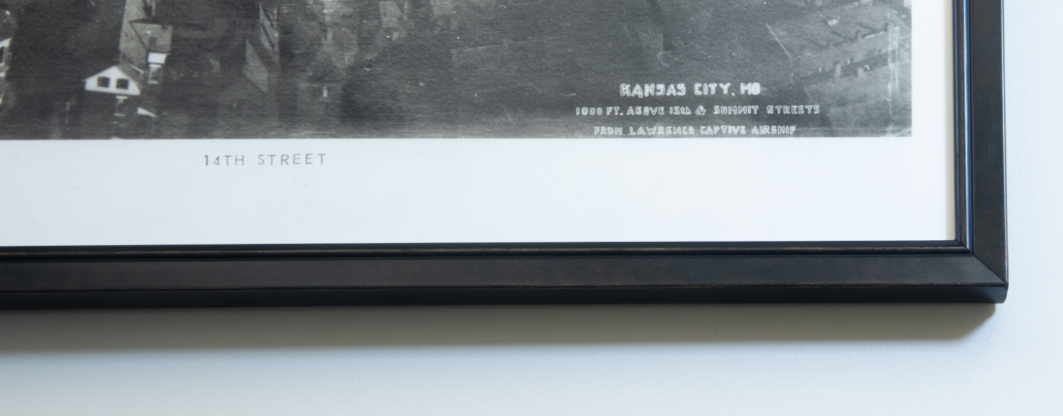
George Lawrence was a commercial photographer that invented the "captive airship" a panoramic camera suspended in air by seventeen Conyne kites that enabled him to take stunning aerial panoramic photographs. Lawrence took pictures of cities across the United States and captured this one of Kansas City in 1907 from one thousand feet above Summit and 13th streets. Beneath the photograph Summit, Jefferson, 13th, and 14th streets are indicated along with a stamp that reads "Reproduced Especially for James M. Kemper". The black and white photograph offers a glimpse into a version of the city long since past, a view accentuated by the withering of quality near the edges of the photograph.


