Support the Kansas City Public Library on #LibraryGivingDay.
The Kansas City Public Library and Missouri Valley Special Collections are proud to announce the addition of 34 newly scanned maps to KCHistory.org. The maps range in date from the 1880s through the 1960s and reflect a wide variety of interests. There are zoning maps, school district boundary maps, public transit maps, geological maps, and road maps. Taken together, they demonstrate tremendous changes to our built environment and boundaries since the city’s humble beginnings as a riverboat landing for Westport merchants.
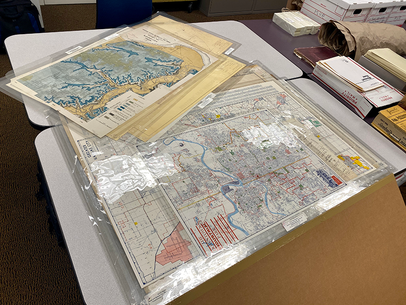
Maps ready for scanning.
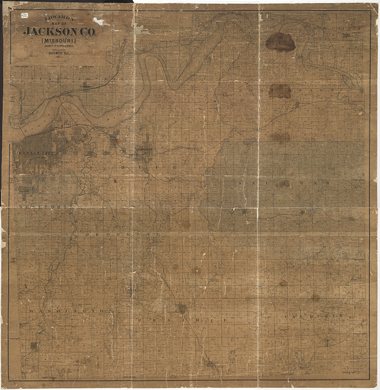
The 1887 Edwards’ Map of Jackson County, Missouri, depicts a larger area than its 1880 counterpart, showing property ownership information south and east to the borders of Cass and Johnson counties. Adding to its research appeal, the mapmakers extended their scope north of the river, displaying the southernmost portions of Clay and Ray counties.
In addition to their research value, these property maps were selected for scanning due to severe preservation concerns. Making the digital versions available to the public will allow us to store them away safely and ensure their survival well into the future.
|
Title |
Date |
|
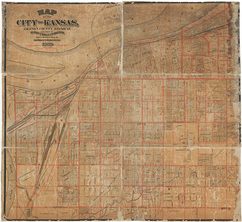
1880 |
|
|
1887 |
|
|
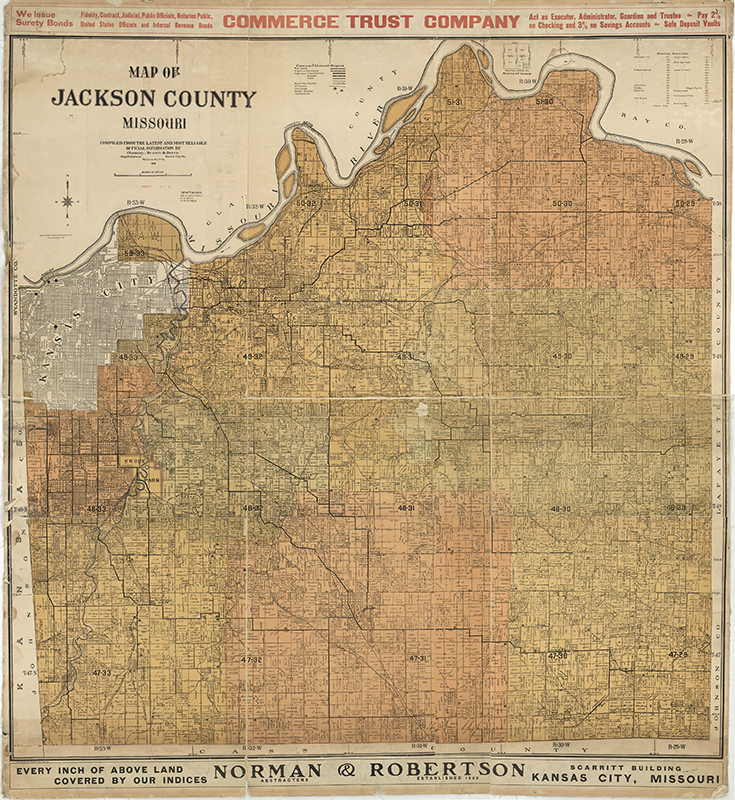
1909 |
|
|
1917 |
|
|
1927 |
|
|
1930 |
|
|
1931 |
|
|
Historical Landmarks, Trails & Monuments in and around Kansas City, Missouri |
1938 |
|
1940 ca. |
|
|
1942 |
|
|
1951 |
|
|
1954 |
|
|
1956 |
|
|
1956 |
|
|
1957 |
|
|
1957 |
|
|
1958 |
|
|
1960 |
|
|
1960 |
|
|
1960 |
|
|
1960 |
|
|
1960 |
|
|
1961 |
|
|
1961 |
|
|
1961 |
|
|
1961 ca. |
|
|
1962 |
|
|
1962 |
|
|
1962 |
|
|
1964 |
|
|
1964 |
|
|
1967 |
|
|
n.d. |
|
|
n.d. |